Bigger, better, joined up
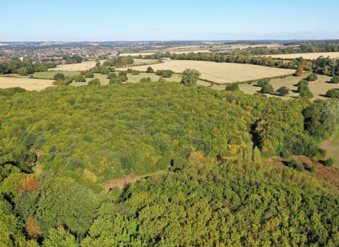
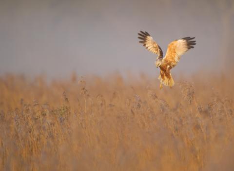
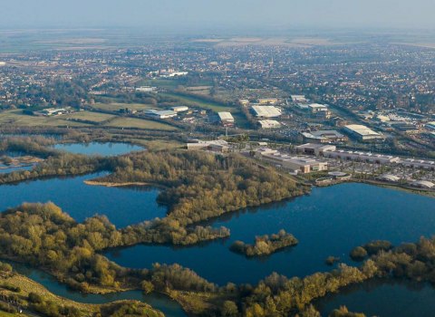
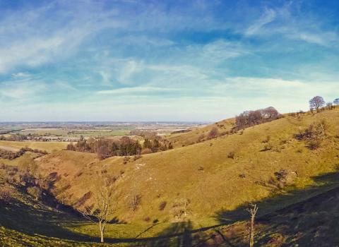
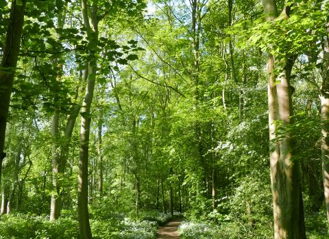
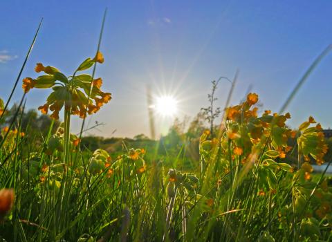
Nature conservation in the UK has traditionally focused on the preservation of specific sites. But outside these few places, natural habitats have been lost on an unprecedented scale and many species, both common and rare, are in long-term decline. Living Landscapes connect these smaller sites together in a bigger, more joined up area helping wildlife to move freely through the countryside without barriers and improving biodiversity.
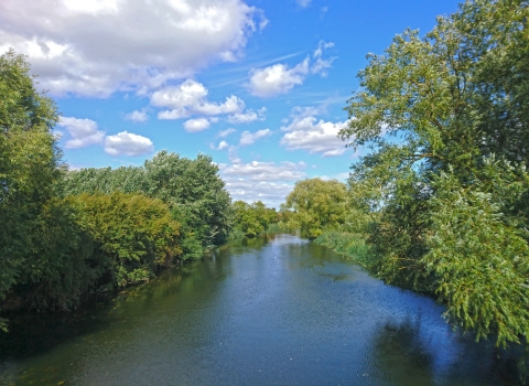
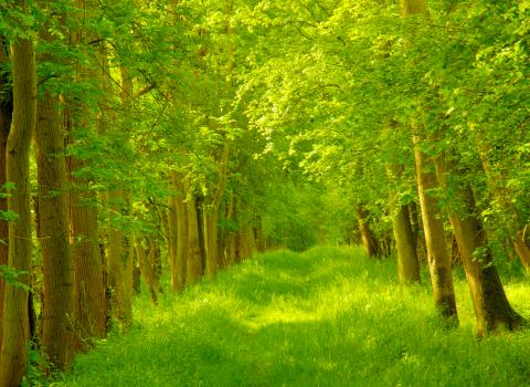
Living Landscapes use wildlife corridors that connect smaller sites together. These wildlife corridors include roadside verges, hedgerows, field margins, rivers, streams and other natural connectors. Living Landscapes are natural networks allowing wildlife to travel from site to site.
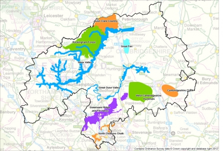
Living Landscapes in Bedfordshire, Cambridgeshire and Northamptonshire.
Contains Ordnance Survey data © Crown copyright and database right 2012
