Southorpe Meadow
Southorpe Meadow
A small fragment of unimproved limestone grassland in eastern England
Know before you go
Dogs
When to visit
Opening times
Open at all timesBest time to visit
spring and summerAbout the reserve
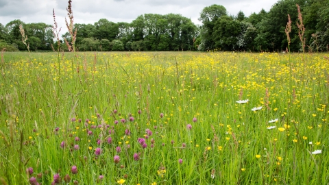
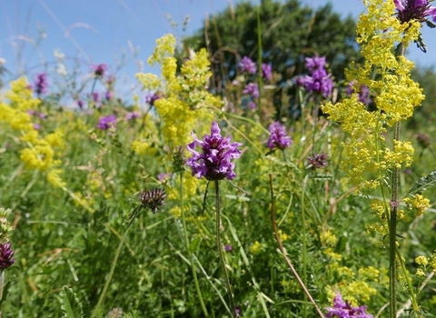
Southorpe Meadow is a small, wildflower-rich hay meadow with the ridge and furrow structure created by a medieval oxen-plough still visible. The show of wild flowers begins in spring with cowslips.
Look closely in the damper furrows in early summer and you'll see adder's-tongue fern nestling beneath the taller grasses.
Additional information
- Southorpe Meadow is one of the reserves in the John Clare Living Landscape.
- Scroll down to see the reserve boundary. Please note the boundary map is for indication purposes only and does not show the Wildlife Trusts definitive land boundary.
FOR ANY MEDIA ENQUIRIES PLEASE CONTACT OUR COMMUNICATIONS TEAM: communicationsteam@wildlifebcn.org or 01954 713500 and ask for comms team.
Species
Habitat
Contact us
Contact number: 01954 713500
Contact email: Cambridgeshire@wildlifebcn.org
Environmental designation
Site of Special Scientific Interest (SSSI)

