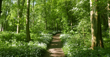
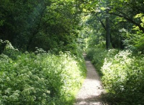
Ancient Woodland is one of the richest wildlife habitats in the UK, and is defined (in England) as a site which has continuously wooded since 1600. Once a dominant habitat, it now only covers about 2.5% of the UK land area.
The combination of undisturbed soils and dead wood means that ancient woodland is home to specialist communities of fungi, invertebrates and plants and provides a home to many birds and mammals. It is unique and irreplaceable and it is important that the remaining sites are identified and mapped so that they can be protected for the future.
At a glance
- Project name: Ancient Woodland Inventory
- Project location: Cambridgeshire, Bedfordshire, Northamptonshire
- Duration: 3 years
- Project focus: Monitoring and research
- Funding partners: The Woodland Trust, DEFRA, Natural England, MHCLG (now DLUC)

Hayley Wood
Project purpose
The original provisional Ancient Woodland Inventory was drawn up in the 1980s as paper maps and these have since been digitised. It did not cover sites less than 2ha in extent.
As more evidence and better mapping has become available, Natural England have initiated a project to update the Inventory with reassessments of existing sites and the addition of small sites over 0.25 hectares in size.

Old Sulehay Forest - Robert Enderby
Project mission
BCN are involved in the update for Bedfordshire, Cambridgeshire and Northamptonshire, initially through the Local Record Centres, who will produce maps identifying Long-Established Woodland, where woodland has been present since the second half of the 19th century.
Two new members of staff, Katharine Flach (Cambridgeshire) and Andy Lear (Bedfordshire and Northamptonshire), will then use these maps to complete the final phases of the project.
Sites deemed to be Ancient Woodland will be identified using a combination of historical maps, documentary evidence and site surveys.
The output will be a new digital Ancient Woodland Inventory for the three counties which will help to ensure that these important sites are identified and protected.
It will be an invaluable resource for local and national conservation organisations, central government, local planning authorities, as well as site owners and managers.
Image by Henry Stanier
The wider context
The Ancient Woodland Inventory (AWI) Update project is a countrywide, multi-partner funded project with an estimated cost of £2.5 million, over 3-5 years. The project has received funding from The Woodland Trust, DEFRA, Natural England and MHCLG (now DLUC).
The current update work being carried out in Bedfordshire, Cambridgeshire and Northamptonshire is funded in part by a donation made to the Woodland Trust by the Constance Travis Charitable Foundation.
Natural England and DEFRA both have map tools to view the current ancient woodland mapping.

